Exyn, Sandvik team up to offer Level 4 autonomous drone surveys

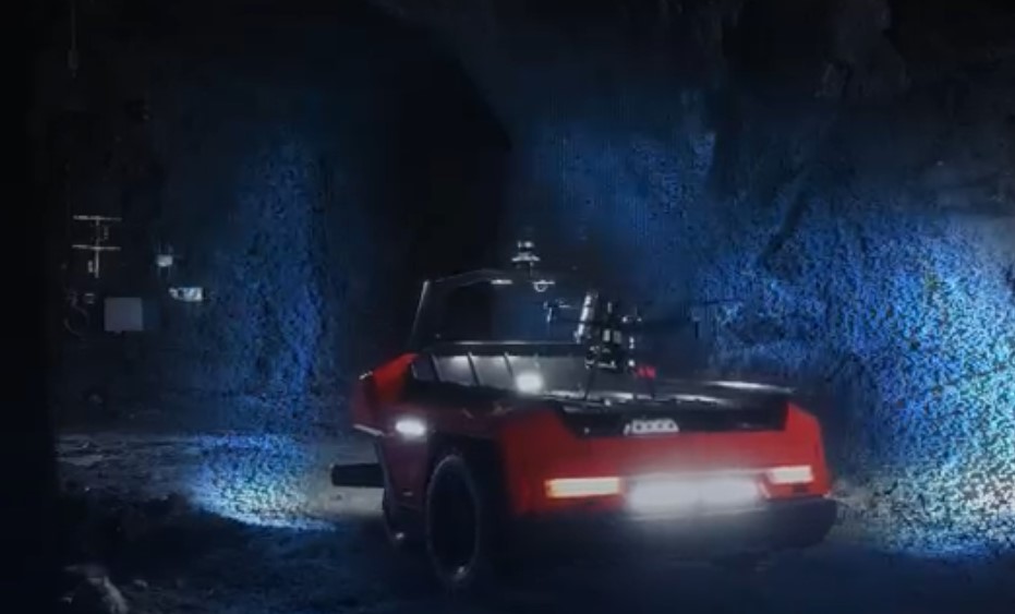
Exyn Technologies and Sandvik Mining and Rock Technology have teamed up to offer aerial robot surveying for complex, industrial environments lacking GPS availability. They demonstrated their capabilities at MINExpo in Las Vegas earlier this week.
The mapping technology is aimed at underground voids, whether stopes, drifts or storage. An inspection robot is dispatched, and when it can go no farther, the drone is launched. All the data is automatically uploaded to the Sandvik data management service, which is part of the OptiMine suite. The server processes the incoming data and georeferences it to existing data, using the team’s data as anchors and ground rules. The robot and drone can operation without interrupting production.


