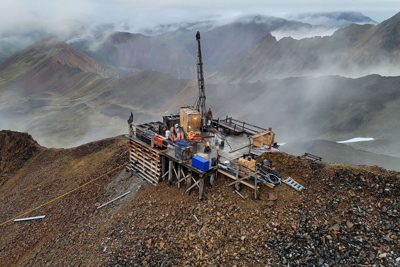
The property has undergone wide spaced drilling by previous holders of the concessions, notably by BHP and Quantum Pacific Exploration Chile in the last 15 years. The depth from which the historic reverse circulation drill chips piles originated is unknown, and it is assumed they are also mixed and therefore only indicative of the subsurface geology.
The geology of Avispa consists of an extensive surface cover of lacustrine sediments, evaporite and gravel deposits of Miocene age that are reported to contain anomalous lithium, iodine and nitrate minerals. These sediments overlay and partially cover Cretaceous volcanics and sediments that are intruded by the target Paleocene monzodiorite and diorite porphyries and Cretaceous andesitic and diorite porphyries. These porphyry rocks are the same ones that host the copper-molybdenum porphyry mineralization seen at Spence, Sierra Gorda and Chuquicamata.
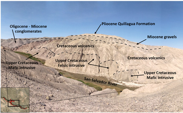
Structural interpretation by Montero has suggested a favourable structural framework to host significant mineralization within the project area. In order to evaluate its copper-molybdenum potential, company geologists have undertaken initial geological mapping and sampling of the Avispa property. The target porphyry deposits are hosted in Cretaceous volcanic and sedimentary rocks that are overlain by an extensive cover of Quaternary and Miocene sediments at Avispa. The limited exposure of the Cretaceous rocks on the property led the geologists to map and sample these rocks in the San Salvador River valley along the southern border of Avispa.
The mapping confirmed that the Quaternary and Miocene cover rocks are between 20 and 50 metres thick, and that in certain areas the Cretaceous rocks are altered and intruded by porphyry rocks of unknown age.
“Montero now controls a 182-square-mile (471 km2) area in the same geological setting as Spence and Sierra Gorda copper molybdenum mines and is 40 km west of the supergiant Chuquicamata porphyry deposit, the largest open-pit copper-molybdenum mine in the world,” Tony Harwood, president and CEO of Montero, commented.
“Within the Avispa claims area significant historical drill campaigns were carried out by BHP and Quantum Pacific Chile, and Montero’s initial sampling and mapping campaigns were designed to build on their combined efforts. Avispa is being investigated to assess the potential to host a significant copper-molybdenum porphyry deposit and also assess its lithium, iodine and nitrate mineral potential,” he added.
Earlier this year, Montero consolidated its holdings at the Avispa project with the approval of 200.8 km2 of exploration concessions that includes the original Avispa and recently awarded Abeja exploration concessions that were registered in 2021. Since then, it has been awarded an additional 270.5 km2 of the Abeja concessions.
To learn more, visit www.monteromining.com.
